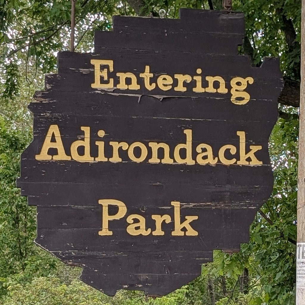
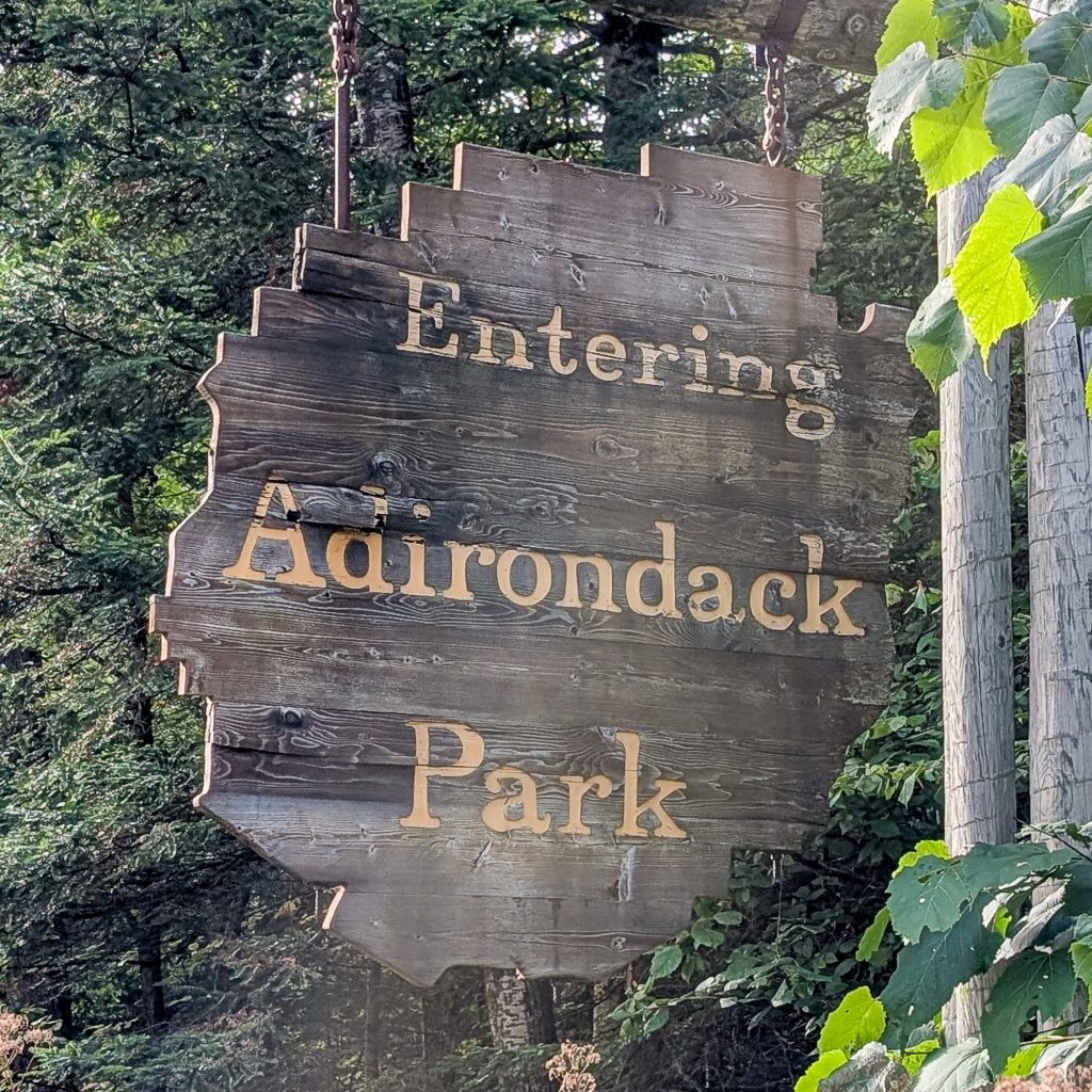
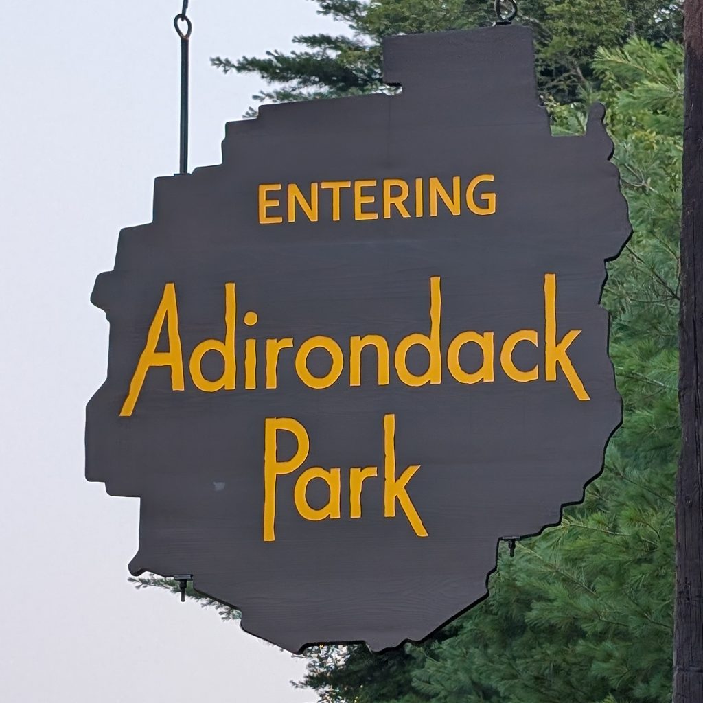
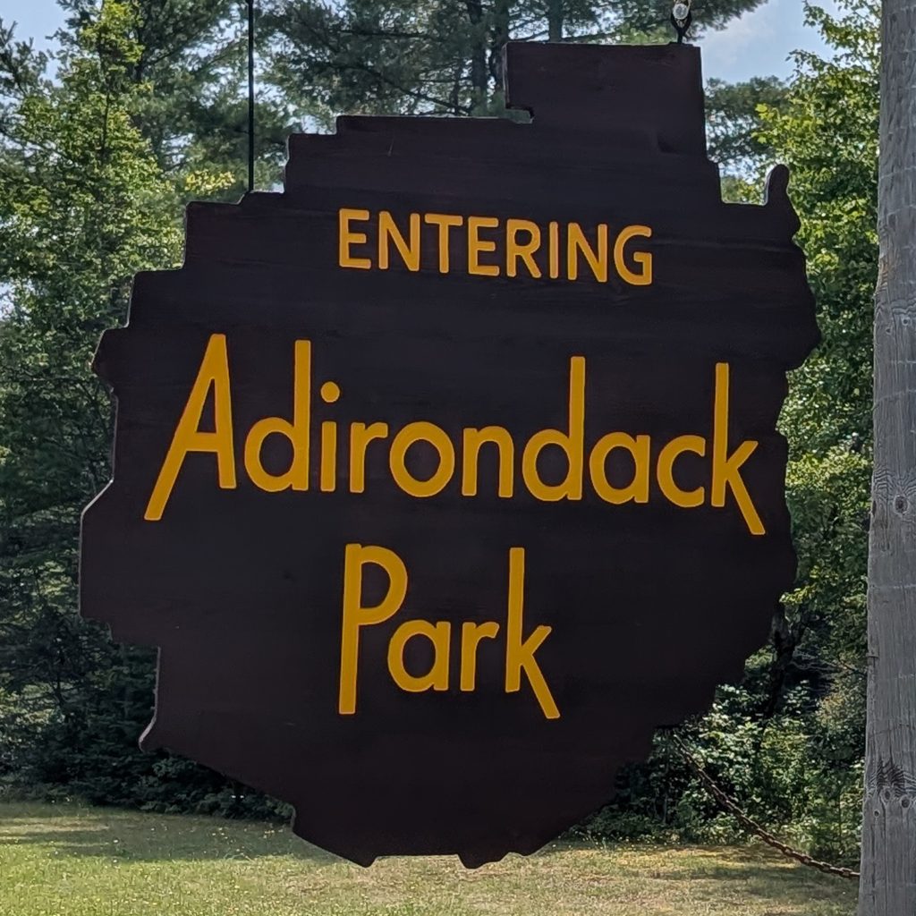
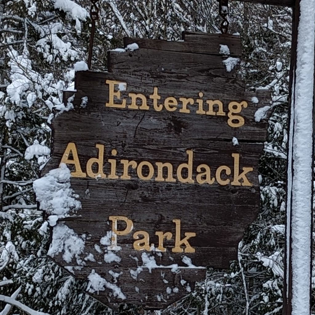
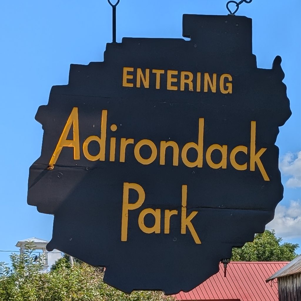
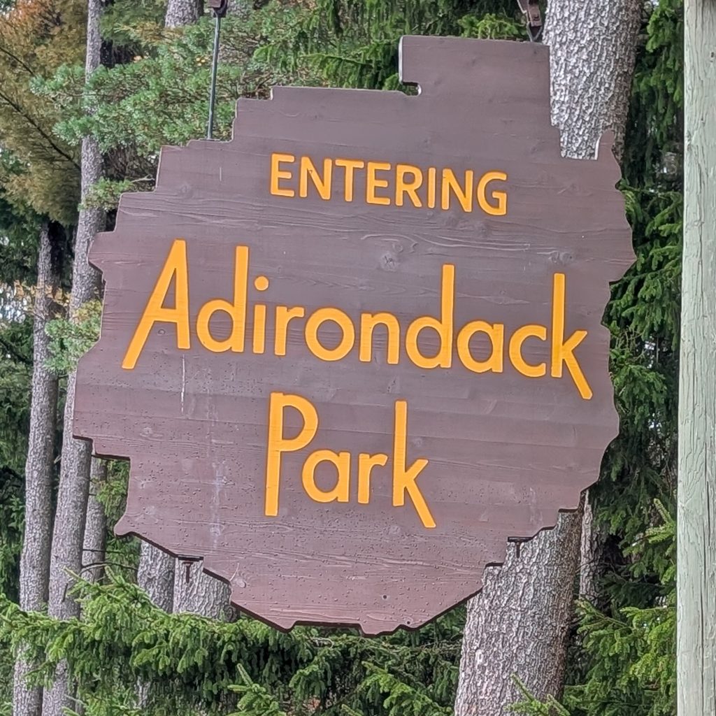
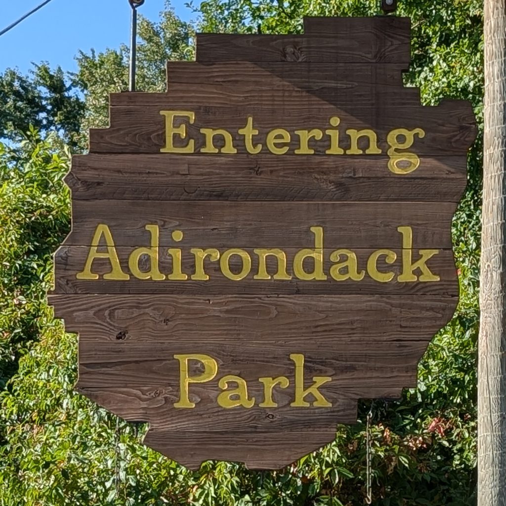
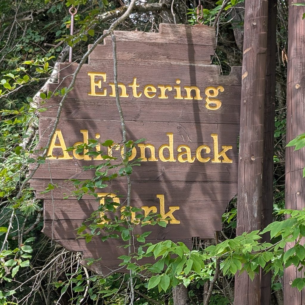
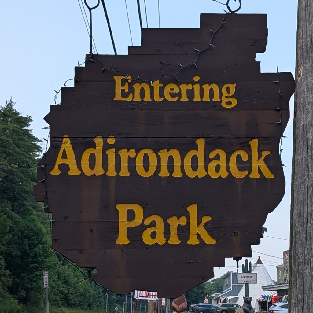
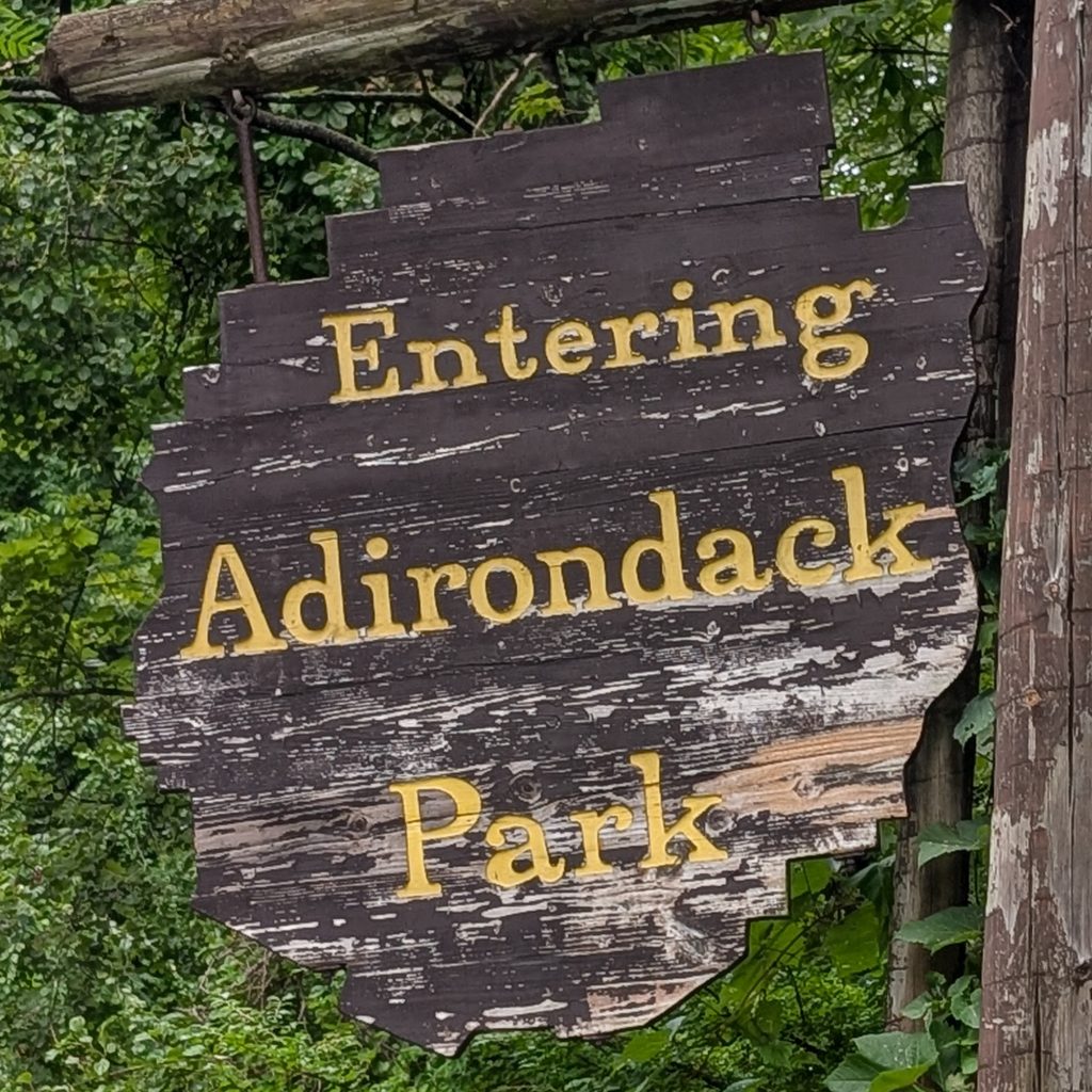
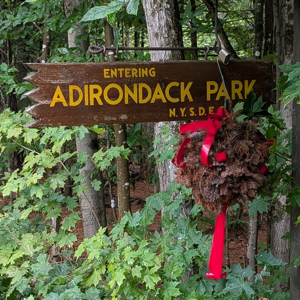
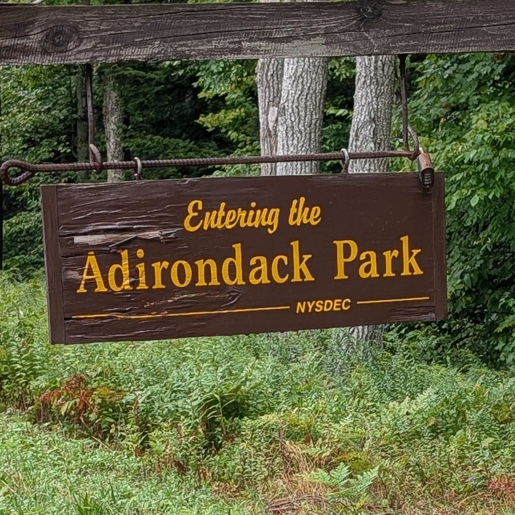
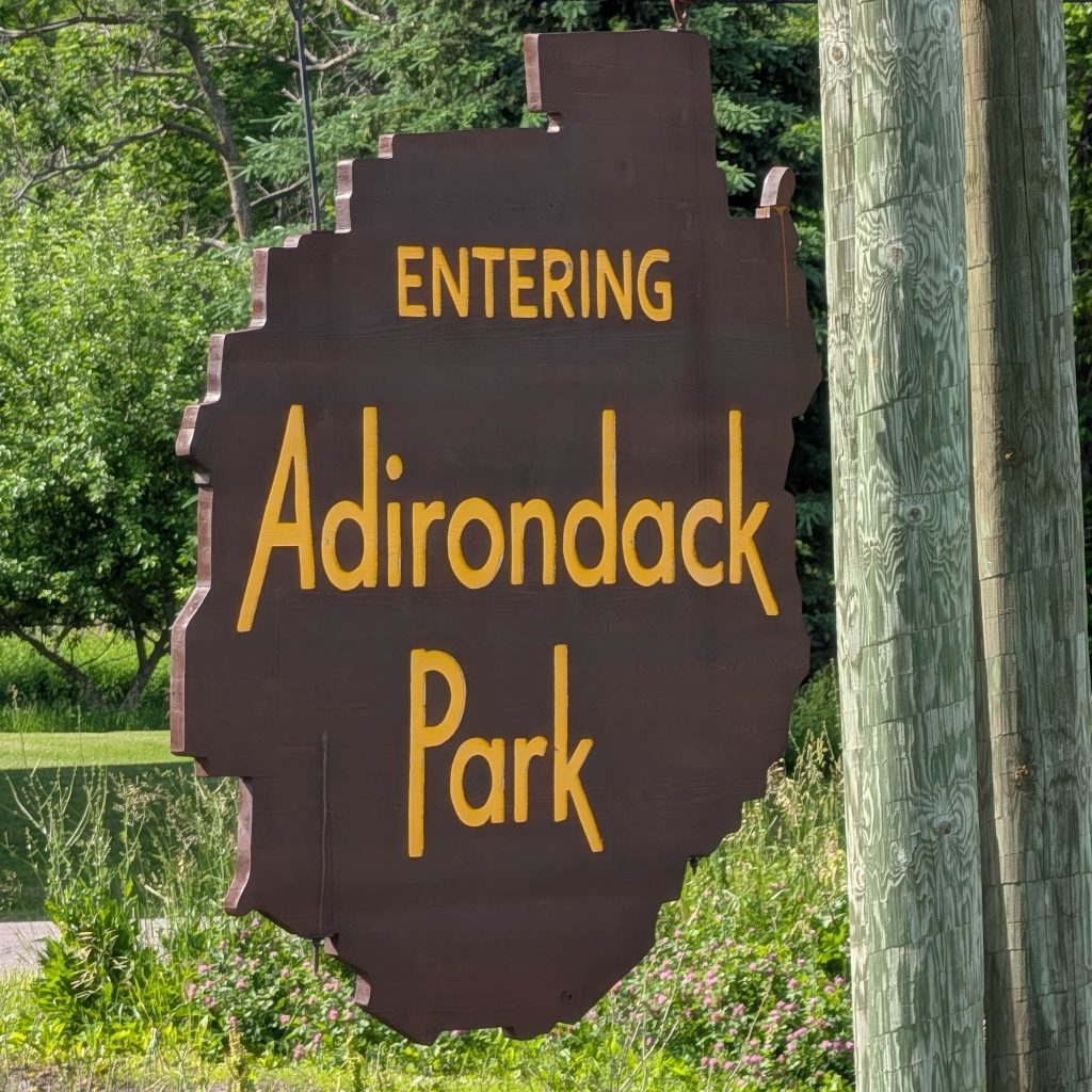
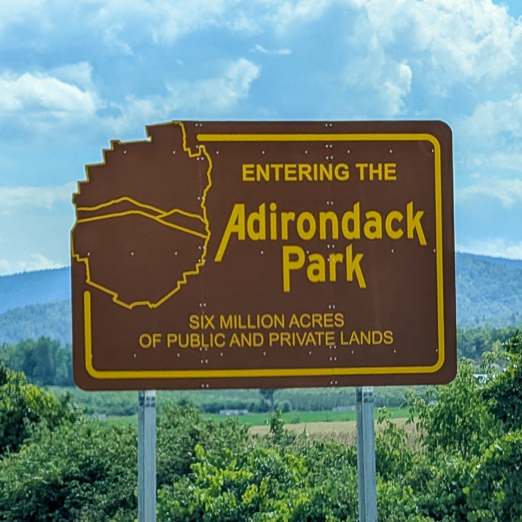
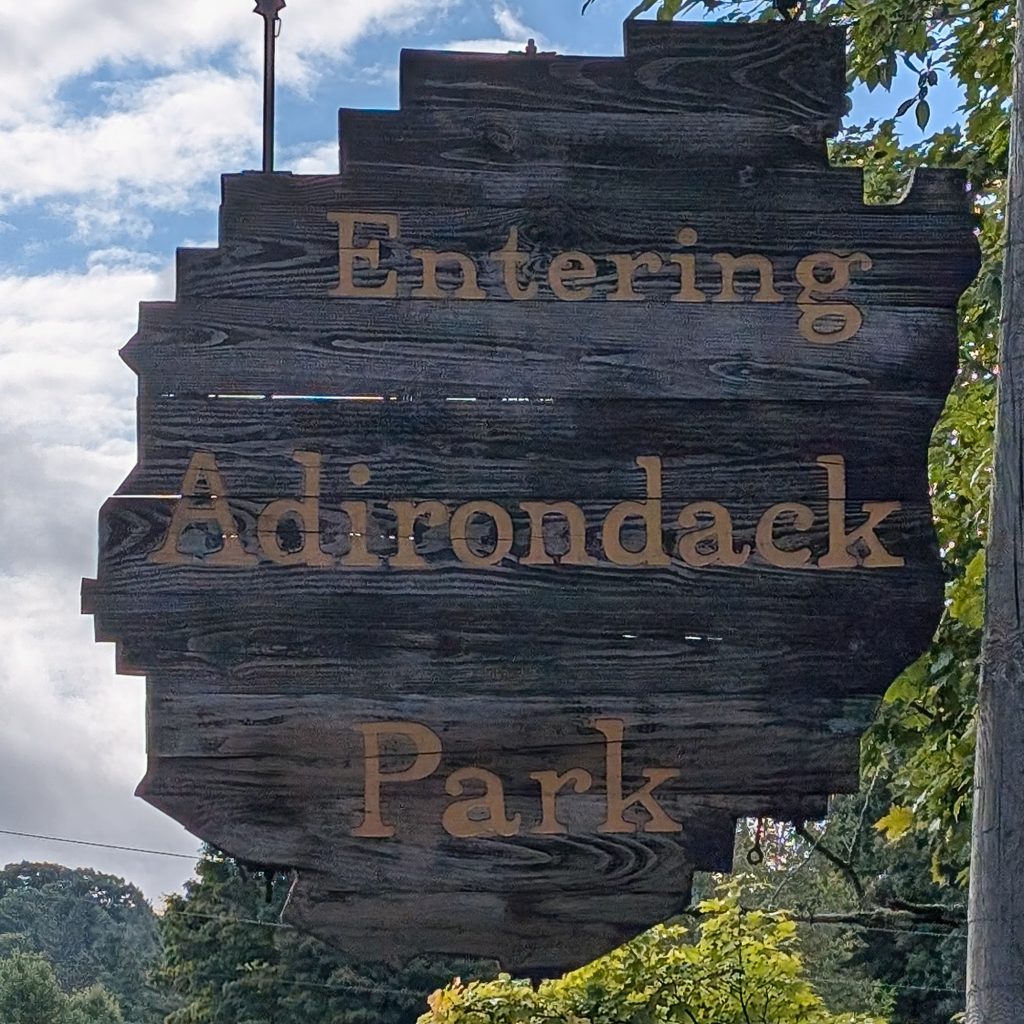
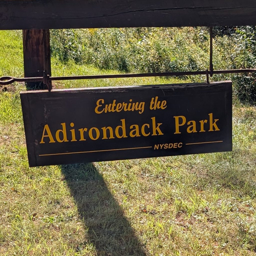
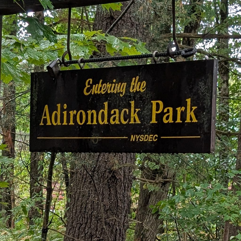
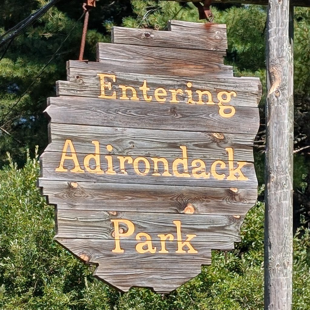
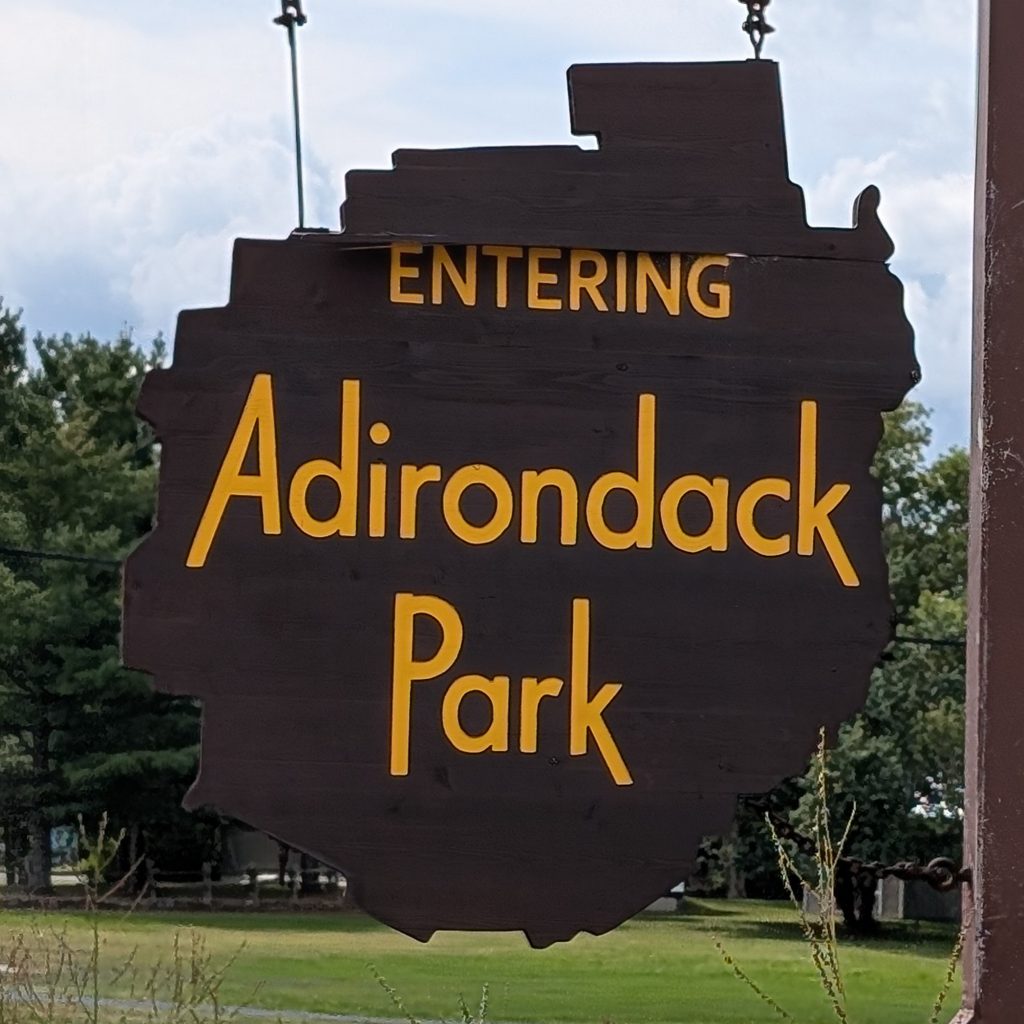
It’s a rite of passage to take a photo of National Park signs at the entrance. But what about the iconic Entering Adirondack Park signs? I’d read that they number around 50, and I wondered where they all were.
I started by importing a file of the Adirondack Blue Line into Google Maps so I could get an accurate location of where the Blue Line crossed each road that entered the park. Then I spent a few hours here and there inspecting each road using Google Street View and dropped a locator on my map if I spotted a sign. Eventually, I came up with about 30, which was far from the goal of 50.
There were a bunch of roads where I would have expected a sign-—like Route 3 between Saranac Lake and Plattsburgh-—but none existed. (I later learned that the sign is on Route 374 instead.) I wondered if the remaining signs could be on the many dirt and seasonal roads that cross the Blue Line that Google Street View doesn’t cover. So I requested a list of the entrance signs from the Department of Environmental Conservation (DEC).
Maybe I should have done that first, but my method worked out in the end. The DEC got back to me within a few days with a spreadsheet from a few years ago that listed about 25 locations, a couple of which I hadn’t spotted. The good news was that it appeared seasonal roads didn’t have signs. The better news was that I had found signs using Google Maps that weren’t on the DEC’s list.
Do I have them all? That’s a good question. Maybe there’s another one lurking in the trees somewhere, but I had fun chasing these down.