A new trail through old growth
Photographers refer to the “magic hour,” when light flowing through a landscape is distinctly golden, something that usually happens at the beginning and end of a clear day. During our trek into Wolf Pond last fall under a sapphire sky, our time on the trail had that remarkable quality, from our late-morning start to mid-afternoon departure.
The reason, I think, is the old-growth forest without the scruffy, witchhobble-choked understory typical of logged woodlands in the Adirondacks. The yellow birch, balm of Gilead, white pine, hemlock, maple and other mature boreal trees are chopstick-straight trunks reaching up high before branching out, so sun hits the forest floor where ferns abound. They cluster around numerous erratics, cling to boulders and carpet the ground as far as a walker can see. The variety of greens contrasting with fallen leaves is revelatory; the wildflowers in spring must be mesmerizing.
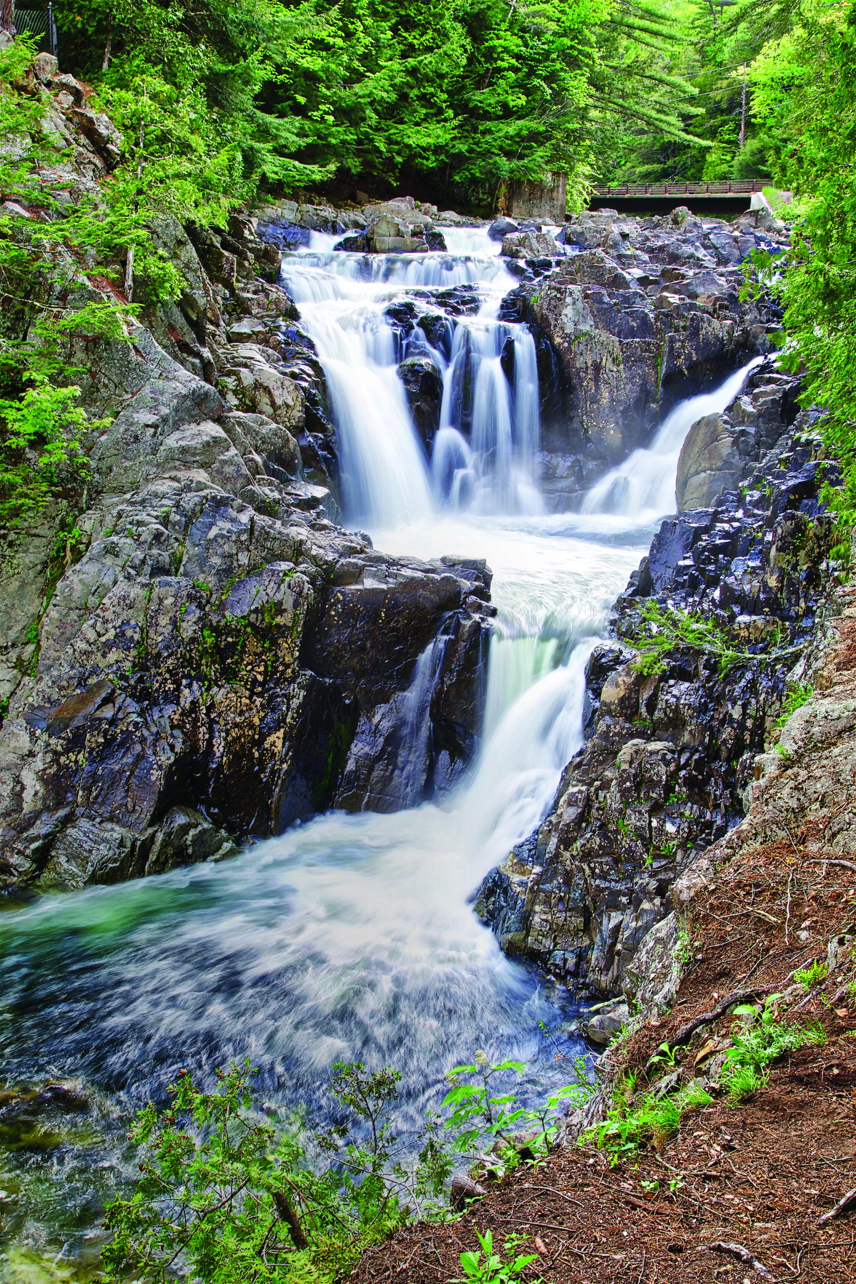
This route (2.3 miles one-way, according to official signage, but 2.6 miles on our GPS) is described as “easy” in a few online posts; for me, walking with poles and picking my way deliberately at about a mile an hour on the ups, downs, arounds and throughs, I would call it moderate. The elevation gain from trailhead to pond is just 300 feet or so, but there are countless inclines and curves around hummocks pocked with bread loaf–size rocks. For the first half-mile Wolf Pond Brook, a tributary of the Boreas River, brackets the trail and sporadically reappears. The lively creek is clear and fast, flowing over stony shelves and stepped cascades, water music as our soundtrack. It looks trouty but we’re on a mission: to reach a remote pond in the Vanderwhacker Triangle that has been Forest Preserve land since the early 1900s. This parcel is adjacent to High Peaks Wilderness Area and every bit as wild.
According to Robert Ripp, a forester with the New York State Department of Environmental Conservation (DEC), the Wolf Pond trail was constructed by a Long Lake–based Student Conservation Association crew and DEC staff during the summers of 2015 and 2016. The route was established to replace the old trail, which was not sustainably built and originally crossed over private property, accessed from the balancing rock on the Blue Ridge Road.
The current trail design relies on the latest three-dimensional mapping technology to create a path that is gradual, foot-friendly and durable. (Not so long ago, the DEC often recycled old logging
roads for hiking trails, requiring extensive ditching, grading and maintenance with heavy equipment.) There are four new bridges over the creek, but the route looks like it has been there for generations—without the erosion and widening due to hikers avoiding mud you find on routes not purpose-built.
Our crew—from California, New Jersey, Raquette Lake, Lake Placid and Paradox—marveled at a tall trio of ancient balm of Gilead trees and huge solitary white pines that had been saplings centuries ago. The goal was the shelter erected in 2017 by Lean2Rescue, a volunteer group that has restored about 70 Adirondack lean-tos and built seven new ones for the DEC. Members come from all over New York and even New Jersey and Pennsylvania. They prefabricated the native cedar structure of scribe-fit logs (chinking not required) over several weekends in an enormous garage in Keene.
Group member Bob Liseno explained the project: “We notched the logs, put them all together, built the framework. We assembled and disassembled; we labeled each part, left or right, tier number, plus reference points as to where the log sits on another. One little deviation can screw everything up.”
Late that winter the helicopter belonging to the state police and DEC airlifted the materials, logs, roofing, flooring and fasteners. “They needed an open spot to land so they used an area next to the lake that’s marshy and flat,” Liseno said.
About a dozen Lean2Rescue volunteers went in, cleared a site away from the shore, then hauled everything with sheer manpower. In just a few days the lean-to was complete. The group also built a thunder box in lieu of an outhouse; these open-air privies are increasingly popular with the DEC for backcountry trails.
As we lunched in sun and shadow by the pond we found the lean-to journal. The first entry was written by a guy who carried a pack canoe all that way to fish Wolf Pond. He got skunked but did not regret his trip one bit.
If You Go
The trailhead for Wolf Pond is on the Blue Ridge Road (CR 84), just east of the bridge over the Boreas River and a few miles west of Gulf Brook Road, which leads to Boreas Ponds. Allow three or more hours for the hike, a snack break and exploring near the pond. Bring binoculars for spotting birds—you may see loons or eagles here—and field guides for trees, ferns and wildflowers.
There are several other hiking destinations near Wolf Pond reached from Blue Ridge Road, including Cheney Pond and the Roosevelt Truck Trail. A hiking route to Andrew Brook, less than a mile east of the Wolf Pond parking area, is in the planning stages. It would provide foot access to Boreas Ponds without using the Gulf Brook Road.