One unmistakable fact about Jim Kobak is that he’s into heavy metal. Among the 10,000 or so stickers on his Subaru Forester are Black Sabbath, Slayer, Overkill and Route 666 (also, Bernie Sanders). When he steps out of the car he’s wearing black pants and a black T-shirt with the slogan “Long Live the Loud.”
And then there are the mountain-bike trails he has spent more than a decade creating near Ausable Chasm, all bearing the names of classic heavy-metal bands and tunes. “That’s what I grew up with,” he explained after we took a ride on Blackened. “I was a kid in New Jersey in the ’80s. I was a huge metal-head.”
Music was not the only influence in his teenage years. He attended Pok-O-MacCready summer camp in Willsboro and fell in love with the Adirondacks. When he returned to the camp as a counselor in his 20s, he met his future wife, Amy, a fellow counselor and North Country native.
Now 53, Kobak teaches biology in the Peru Central School District. In his spare time, he sings and plays guitar in his own band, Executive Disorder, and rides his bike on the single-track trails that he and others—but mostly he—built on land owned by the Ausable Chasm Recreation Center. Located next to the center’s campground, the trails are open to the public, but riders must purchase a daily or seasonal parking pass.
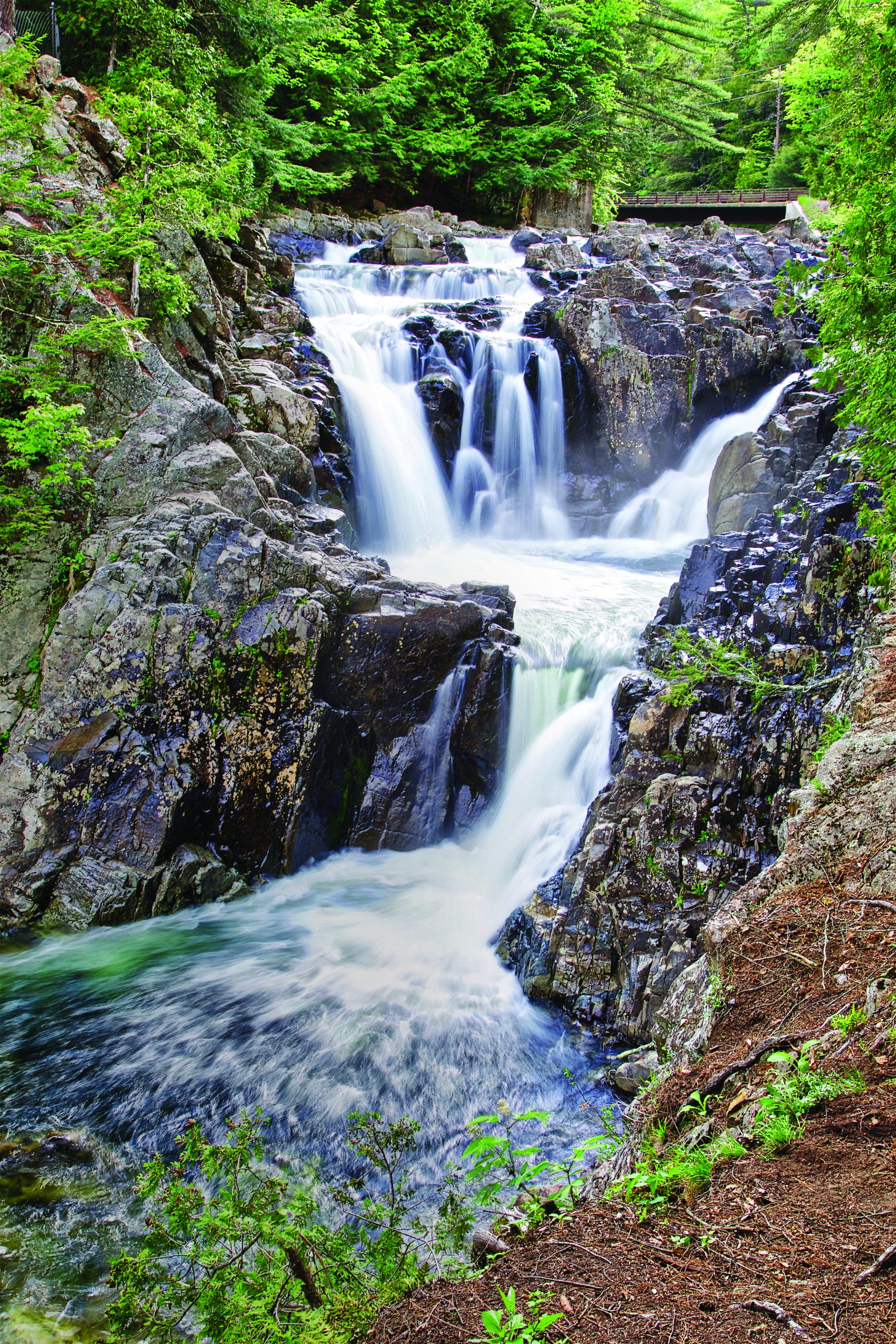
I discovered the Chasm trails last fall. By late October, it had become too cold and too wet to ride the bike trails near my home in Saranac Lake. I knew nothing about the Chasm trails, but I figured conditions would be better in the Champlain Valley. It turned out to be a good call. I enjoyed myself so much that I bought a pass for the rest of the season and returned several times. My last visit was December 17, a full four weeks after I had skied the Whiteface toll road.
The biking season lasts longer here for two reasons. Ausable Chasm sits at a lower elevation (325 feet) than Saranac Lake (1,545 feet), and so winter arrives later. Also, the soil is sandy and dries quickly, even as winter is setting in. For the same reasons, the trails become ridable earlier in the spring than those in the interior of the Adirondack Park, typically in the first week of April.
My first few rides at the Chasm took place just before Halloween. I marveled at the synchronicity as I pedaled through the woods on twisty trails with such names as Deliver Us to Evil and Wake Up Dead, occasionally passing ghoulish paintings and, once, a bloody human skull (fake, I assume).
Apart from nomenclature and artwork, the Chasm trails differ in character from those I normally ride in Saranac Lake, Lake Placid and Wilmington, which are maintained by the Barkeater Trails Alliance (BETA). Many of the BETA trails involve a fair amount of climbing and riding over roots and rocks. The Chasm trails are relatively flat and free of obstacles, making them a good option for novices.
I returned to the trails in June with my girlfriend, Carol. We started on Painkiller, one of the intermediate routes. Wending through the woods, she shouted out her impressions of the ride: “Cool!” “Great!” “Awesome!” Next we ventured onto Exodus, which is rated advanced. Most of this route is no harder than Painkiller, but now and then you come to a tricky bit—such as a ramp over a fallen tree—that accounts for the higher rating. After walking her bike through a few difficult spots, Carol expressed displeasure at my route choice. So we abandoned Exodus and returned to the car via The Ripper, an intermediate route that she enjoyed.
All of the advanced trails have their challenges. A trail called Dystopia requires bikers to ride over jumbled piles of concrete slabs. On Medusa, you plunge into a pit, make a sharp turn, plunge some more and then climb back out. And Slayer, the one truly expert trail, zigzags up and down a steep ravine. Not even its creator has mastered it. “I’ve ridden it many times, but I have to get off the bike in places,” Kobak admitted.
Occasional difficulties aside, the Chasm network is ideal for those who want to unwind on long, flowing trails. The best routes meander through the woods for four to six miles, and it’s possible to do several in an afternoon. It’s a nice change of pace from the shorter and more technical trails created by BETA.
“I loved the terrain,” Carol said after our visit. “And I loved the fact that the trails are long. You can really get into a rhythm. I could see spending hours there.”
A cautionary note: the trail map, a maze of colored lines, can be confusing to the first-time visitor. There are dozens of trails squeezed onto 400 acres, but only 11 routes. The routes are linkups of various trails and are identified by uniquely colored markers. Because the routes frequently overlap, a trail may be part of several routes and thus bear markers of different colors. What I found is that you can pretty much ignore the trail names. Just be sure when you come to a fork that you heed the appropriate marker.
“When people come we tell them to pick a color and follow it,” said Tom Moffett, president of the Chasm Riders Mountain Bike Club. “Because if you look at the trail map it looks like spaghetti thrown against the wall. And if you get lost, pick a color and follow it. Eventually you will get back to the parking lot.”
The club has 28 members, mostly locals. They clear the trails of blowdown and leaves, sponsor bike races and get together for group rides on Friday evenings, followed by beers at the Ausable Brewing Company, in Keeseville. The club existed informally for several years before incorporating as a nonprofit organization early this year.
Moffett credits Kobak with doing 90 percent of the trail building, though other club members pitched in. Years ago, the property contained a network of cross-country-ski trails. At first, cyclists simply rode the old ski trails, which were wide enough for two bikes. Then Kobak started building single-track off these trails. He’d look for interesting terrain features, such as the berm of an old rail bed, sand pits, and the concrete slabs of Dystopia. “Just me walking through the woods and saying, ‘This is cool; I’ll flag this,’” Kobak recalled.
Once a trail was flagged, Kobak and his helpers would clip the brush, rake the trail and finally ride it to pack down the soil. Generally, they went around trees rather than cut them. “That’s why the trails are so twisty,” Kobak remarked.
One piece at a time, the network has grown to 20 miles. Kobak established the first route in 2011. Originally, it was called Black, after the color of its markers, and it followed the ski trails. Kobak later dubbed the route Blackened, after a song by Metallica. As he added single-track to the route, he named each segment after other Metallica songs. And so a motif was born.
Blackened was followed by Overkill, Anthrax, Megadeth and Exodus. The last was finished in 2020 in the midst of the COVID pandemic. “It was good social distancing, working on the trails alone,” Moffett said.
Exodus will probably be the last route at the Chasm. As a glance at the trail map reveals, the land is pretty much jam-packed. Moffett thinks the club might be able to squeeze in a few short spur trails, but that’s about it. He’s starting to set his sights on other places in the Champlain Valley where the club could create trails. One idea is rejuvenating a bike-trail network in Cadyville, where locals used to hold races before the Chasm trails were built. “I have a list of areas in mind,” he said.
If he builds them, we will come. Especially after the snow starts to fly in Saranac Lake.
THE TRAILS: Eleven overlapping routes, rated as follows: two beginner, three intermediate, five advanced, one expert. The terrain is mostly flat or gently rolling. But Slayer, the expert route, goes up and down a steep ravine.
PARKING FEES: $8/day; $50/season. Passes can be purchased at the Ausable Chasm Campground in the town of Chesterfield.
DIRECTIONS: From Northway Exit 34, drive northeast on Route 9N through Keeseville to Route 9. Turn left and go 1.3 miles to Route 373. Turn right and go 0.2 mile to the campground entrance on left. For the trailhead, return to Route 9 and turn right. The parking area will appear momentarily on the right.
MORE INFO: A trail map can be downloaded from the Trailforks website. The Chasm Riders Mountain Bike Club posts news on its Facebook page.
CONTACT: camp@ausablechasm.com; (518) 834-9990.