Pitchoff Mountain, nine miles east of Lake Placid, has two distinct personalities. Between the trailhead for the West trail and the summit, it’s a steady ascent up a well-trodden path. Then this trek turns ledgy and downright dastardly, at least in one spot, as you scramble over successive subpeaks, heading toward the bottom of the East trail. But just when you want to abandon it, inspirational views entice you onward.
Pitchoff (3,600 feet) is a sizeable mountain, but because it’s in the High Peaks, separated from Cascade and Porter Mountains—both 4,000-footers—by Route 73, it’s far down most intrepid hikers’ to-do lists. It shouldn’t be, especially for the first 1.7 miles to the Balanced Rocks.
The Balanced Rocks are gravity-defying boulders perched precariously at the end of a lengthy rock slab. Last summer, I hiked to them with my friend Helena and her daughter, Emma, avid trekkers who have tromped through most of the High Peaks region. Since we had two cars and could do a car-drop, we decided to go point-to-point over the summit. It was a route that I had explored 15 years before and remembered for its glorious views, but not much more.
The trail to the Balanced Rocks climbs persistently for about 1,400 feet. The path is eroded, but two viewpoints break up the ascent. At the first, Cascade Mountain and Lower Cascade Lake dominate the opposite side of the valley. The second, higher one reveals Mounts Colden, Wright and Marcy. A half-mile later, we found the spur to the Balanced Rocks and picked up our pace in anticipation of seeing them.
Not that you could miss them. Three elephant-sized boulders surrounded by a number of smaller ones stand like sentinels peering over the road, now a narrow ribbon far below. Why they don’t simply slide to the valley floor is both a marvel and a mystery. But who looks down? The view of Mount Marcy and Algonquin Peak from here is as alluring as the rocks.
I climbed to the top of one of the boulders, soaking up the sun while Helena and Emma ate a snack and relaxed.
“This is really nice,” said Helena, summing up what all three of us felt.
Eventually, we reshouldered our daypacks and continued toward the summit. We could tell that fewer people continue past the Balanced Rocks, as we pushed through some low bushes and ferns that encroached on the path. At 2.4 miles from the trailhead, we reached the top, marked by another balancing boulder surrounded by trees. We didn’t dally. After the Balanced Rocks, the summit was anticlimactic.
Just beyond that forested pinnacle, the trail squeezes between two boulders in a stand of firs, then continues along the summit ridge, descending slightly to a flat-topped rock by the edge of a cliff. The view from here is different from the one at the Balanced Rocks and now includes Giant, Hurricane and the Great Range beyond Big Slide.
We traversed the edge of the cliff, heading toward the first of Pitchoff’s subpeaks. From the cliff, we got a rare look at Mounts Skylight and Haystack just behind Marcy and Colden. As we were admiring the view, Helena screamed, “Yikes! A snake!”
A garter snake that had been sunning itself on a slab slithered into the blueberry bushes inches from Helena’s boots. I had probably stepped over it without realizing it.
From there, the trail follows the cliff-line, which falls unnervingly away to our right. The mountain was beginning to show its edgier side, but the views just kept coming, so we didn’t dwell on the lack of guardrails. Plus, the route took some poking around to find.
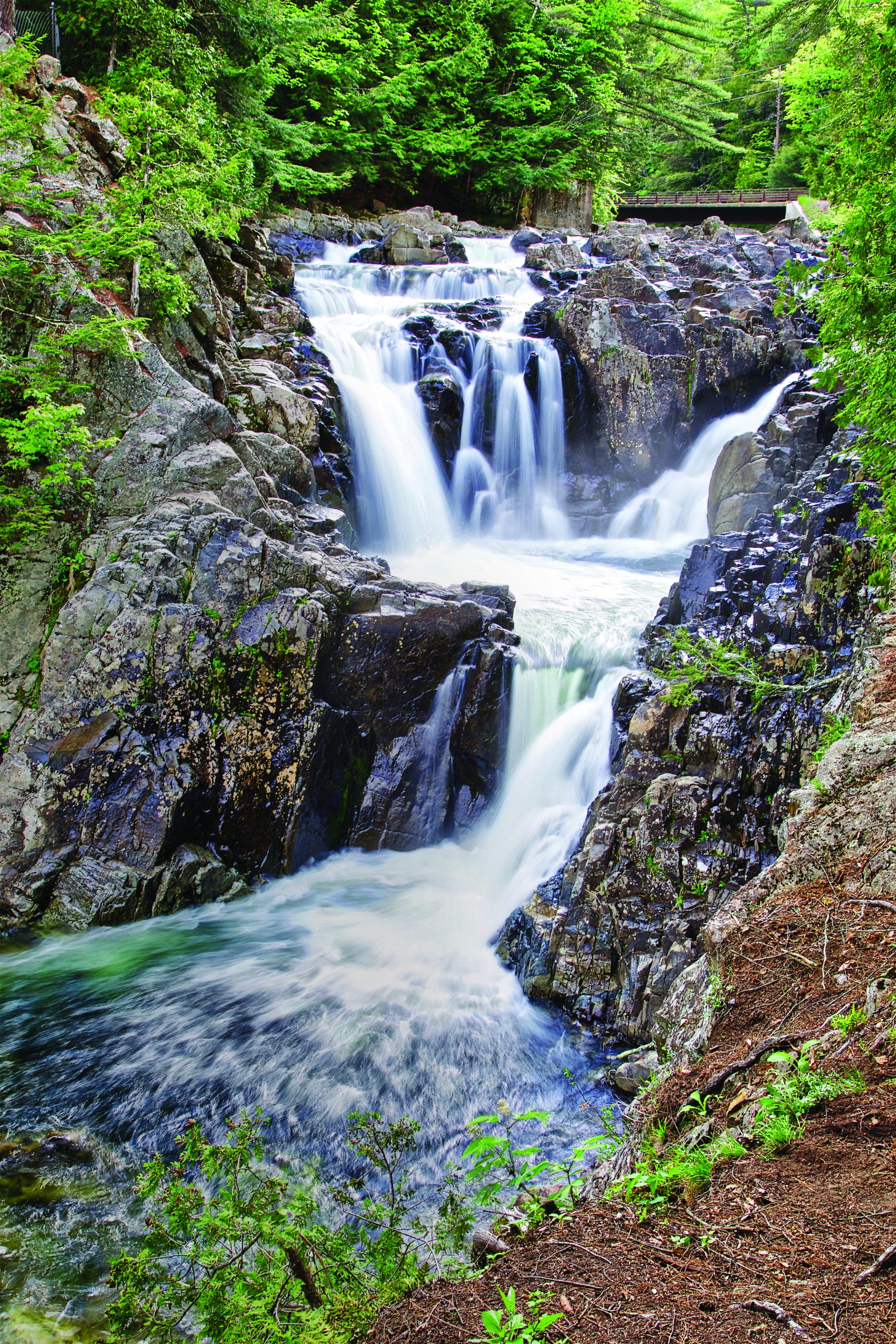
After descending a short rock chimney, the trail zigs left, then quickly zags right, down steep, steplike rocks. We crossed a mossy stream, then climbed to the next subpeak. For the first time, we caught an exceptional view of Whiteface Mountain to the northwest and, to its east, the 36-square-mile Sentinel Wilderness, of which Pitchoff Mountain is a part. The 5.9-mile point-to-point trail on Pitchoff makes up over half of the trail system in the Sentinel Wilderness. The only other trail of note in this untouched swath of the Adirondacks is the historic Jackrabbit Ski Trail.
A little farther, we could see the fire tower atop Hurricane Mountain. Farther still, we glimpsed the Olympic ski jumping complex on the edge of Lake Placid.
After working our way carefully up and down a number of slick rock chimneys, we came to a near-vertical slab that we needed to descend. About 15 feet high, it was too tall to jump. I spotted a crack in the bedrock to my right and went over to see if there might be a few hand- and toeholds to help us down the slippery wall. As I inched toward the edge for a better look, I started to slide. My throat closed in panic as I searched for something to grab. Then, miraculously, I stopped. My hips had wedged into the crack in the rock.
A sturdy birch tree stood just in front of me. I wondered if I could reach it and leaned forward. It was a few inches too far—then it wasn’t! As I tilted toward the birch, my hips released from the rock. I was able to lever myself with the trunk while bracing with my legs in the crack, and was soon on the ground.
Emma came next, trying to brace with her legs and arms in the crack. I shouted to her to wedge her hips, then go for the tree. It worked. Within moments she stood beside me. Helena followed, using the same maneuver. Like Emma and me, she was down safely within moments. “We just invented a new move, the hip hold,” I said, giggling.
The rest of the hike was hardly a cakewalk. Another snake slithered away from us as we crested a small hump. We had to jump a gap in a cliff, negotiate more sections of smooth, wet rock, then descend an eroded, muddy mile to the trailhead for the East trail.
When we finally emerged onto Route 73, we had loved and hated Pitchoff. The panoramas were amazing. We enjoyed seeing the Balanced Rocks; less so, the slippery ups and downs between the summit and the end.
And we still laugh about having invented the hip hold.
If You Go
Plan a car-drop to hike from the start of the West trail over the summit to the end of the East trail. Route 73, between the two trailheads, is a busy road with narrow shoulders. You can walk it or bike it, but a car-drop is safer.
The West trail shares parking with the busy Cascade Mountain trailhead. Go early to get a spot.
Save this hike for dry weather; the rocks are slippery when wet.
The route is dog-friendly to the summit when approaching from the west, but not beyond that point. Even mountain-savvy canines will need help getting up and down sections of rock.
Consult the Adirondack Mountain Club’s High Peaks Trails or FalconGuides’ Hiking the Adirondacks for a complete trail description.
Lisa Ballard is the author of 13 books, including Hiking the Adirondacks and Best Easy Day Hikes Adirondacks.