photograph by Johnathan Esper
Seven miles of bushwhacks, 53 miles of roads and 180 miles of trails. The Adirondacks’ most epic thru-hike
Big things are worth doing. They create defining moments of your life. That’s why, when I heard about the 240-mile Trans Adirondack Route, I knew I had to do it.
I’m an impatient person. I never seriously considered taking on a months-long thru-hike like the Appalachian Trail, but the idea of a two-week trek seemed right for me. Long ago I hiked sections of the Northville–Lake Placid Trail, but going from one end of the Blue Line to the other, down through the middle of the park, would bring me to places that I’d never seen. I’m a landscape photographer—the only way to get great pictures is to “be there.” This would be a great opportunity.
The Trans Adirondack Route was created and first completed by Erik Schlimmer in 2013. Schlimmer has taken on all sorts of self-created challenges, like mountain-biking 2,300 miles along the US-Mexico border and then 2,700 miles from Canada to Mexico, and climbing the 451 3,000-footers of New England. The route he came up with in the Adirondacks is a string of bushwhacks, roads and existing foot and snowmobile trails, nearly all on state land, that meanders from Ellenburg Center all the way to Ephratah. You’ve got to know how to use a map and compass and how to support yourself through difficult stretches. According to Schlimmer, Trans Adirondack Route thru-hikes have ranged between 11 and 20 days, and only 23 people have successfully finished the exact route he laid out in his Blue Line to Blue Line: The Official Guide to the Trans Adirondack Route.
In the guidebook, Schlimmer divides the route into seven sections. I chose to personalize it a bit by biking the northern roads at the start and then biking the snowmobile and ATV trails in the southern sections. I also modified my trip by bushwhacking around Taylor Pond, hiking additional side trails that looked photo-worthy, and choosing some alternate snowmobile trails that weren’t too overgrown—all of this shaved eight miles off the route. (For these reasons, I don’t officially qualify as having completed the Trans Adirondack Route.) I also had the luxury of sleeping overnight at my house in Lake Placid, just 300 meters from where the route crosses, and then at my parents’ house in Long Lake. I had support with supplies and transporting my bike. So I was unburdened by a heavy pack, and I could focus on enjoying the hike and photographing what I saw along the way.
It took me 13 days in late spring to complete the trip and I’ll never forget the experience. Had it not been for the coronavirus pandemic, I would have been overseas, instructing photography workshops. But I had time to really focus on this park that I call my home. After I started the Trans Adirondack Route it took a couple of days to put my phone away—at one point I was dealing with business matters on top of Catamount—but as my signal faded, I could appreciate how simple my days were. Hike, camp, sleep, repeat. I faced challenges, including flat tires, downpours, relentless blackflies and a belligerent lean-to occupant. Still, I was reminded that the Adirondack Park has endless recreational opportunities. There is always somewhere new to go. And I will always consider the Trans Adirondack Route to be one of the biggest things I’ve accomplished.
Day 1: It was a warm afternoon when I was dropped off with my mountain bike in Ellenburg Center, nine miles from the Canadian border. The blackflies were vicious, so I kept a fast pace along the county and town roads. It was sunset when I reached Lyon Mountain, where I spent the night in an old tailings pit.
Day 2: I continued on bike along an old railroad bed, now a gravel ATV/snowmobile corridor. I rode through forest to Chazy Lake, then followed country roads, eventually descending toward the Saranac River. I hiked to calm, quiet Mud Pond. From there was the route’s longest and, for me, the most difficult bushwhack, through blowdown, overgrown logging roads and swamps to Union Falls Flow. I eventually came out on a ridgeline on Duncan Mountain, overlooking the Taylor Pond Wild Forest, a beautiful place to spend the night.
Day 3: From Union Falls dam, the route goes off-trail through the woods and cuts over to the southern end of Silver Lake. Then it picks up a snowmobile trail around to Taylor Pond. I emerged from the dense woods onto CR8, a snowmobile trail that crosses the entire park. I swam with a loon in Taylor Pond, then bushwhacked up the north ridge of Catamount Mountain. I slept on the summit beneath the stars.
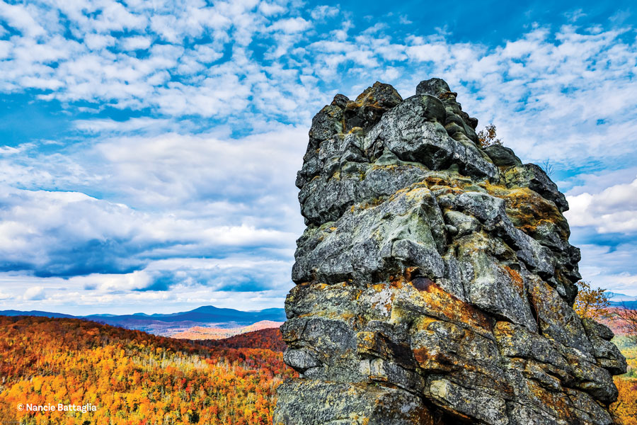
Day 4: I made a big push over Marble Mountain, the shoulder of Esther, where the trail was covered in snow, and on to Whiteface. By evening, atop Whiteface, there were stunning, 360-degree views across the region. I descended the peak’s south face toward Whiteface Landing, to Connery Pond and then along River Road, using the moon to light my way.
Day 5: The route followed the 1932 Winter Olympic’s Nordic ski trails, now overgrown herd paths. These looped over the South and North Notches, but after I got soaked in a downpour on the South Notch, I went straight, following the Jackrabbit Trail on the backside of Pitchoff. I then crossed Route 73, and continued to the ski trails at the Mount Van Hoevenberg complex to avoid walking on the road. I hiked over Mount Van Hoevenberg and continued to South Meadows Road.
Day 6: At Adirondak Loj, I took an alternate route through the central High Peaks to avoid the Flowed Lands and Opalescent River—I’ve hiked that route many times. Instead, I chose to go over Indian Pass, past the Wallface cliffs and Rocky Falls.
Day 7: I trekked around Henderson Lake, up and around the Preston Ponds, and eventually to Duck Hole. From here, the route joins the Northville-Placid Trail (NPT) from the north. I spent the night at the Seward lean-to.
Day 8: I bushwhacked around Ouluska Pass Pond and continued downstream along the Cold River, past Shattuck Clearing, then along the east shore of Long Lake. Highlights were massive old-growth yellow birches and a beautiful sunset on the shores of Long Lake.
Day 9: I hiked over the Fishing Brook Range, past Blue Mountain to Lake Durant.
Day 10: The trail near Lake Durant had deep, quicksand-like mud that could suck your boots off. I backpacked through the West Canada Lake Wilderness region—one of my most challenging stretches. One section of trail was badly flooded and I waded across knee-deep swamps. The Carry lean-to near Cedar River Flow was occupied and rain was coming, so I strung my poncho between a stand of trees and slept on the forest floor.
Day 11: I dried out at Cedar Lake, then followed the trails to Cedar Lake’s lean-to #3. From here, the route veers off from the NPT on a three-mile bushwhack through thick pines, eventually transecting the east-west French Louie trail. The blackflies along the lowlands were merciless. I continued to Whitney Lake, where the sun sparkled on its surface. After more than 14 hours on my feet—and after being kicked out of a lean-to along Spruce Lake by a man who threatened me verbally and physically, claiming he was armed—I made it to the third lean-to along Spruce Lake for the night.
Day 12: Following a 10-mile hike from Spruce Lake to Piseco, the route follows snowmobile trails. From here I rode my bike—a fun and quick way to count down miles. Once south of Piseco Lake outlet, I took the Wagoners Loop that runs parallel to Route 10. It was overgrown with shrubs and some sections were thick with mud, so I backtracked north to the dirt Powley Road. From here I followed the Clockmill Pond trail and rejoined the Trans Adirondack Route at Kennel’s Pond. By nightfall I had reached the Jockeybush Lake trailhead.
Day 13: I crossed unmarked herd paths to scout places I wanted to visit in the future, then followed snowmobile trails past the Good Luck Mountain Cliffs, Third Lake and another Long Lake. From here I personalized the route by taking an alternate snowmobile trail. After crossing Route 29A, I continued on C8 to Stewarts Landing, where I rejoined the Trans Adirondack Route. I rode to Hildebrant Vly, then the Glasgow Mills dam and the East Road trail parking area. From here, the southern Blue Line was just a mile away, but a recent storm had left downed trees and power lines across the final dirt road in Ephratah. I rode on an extra half mile just to be sure I had, in fact, crossed the Blue Line finish line. I was exhausted, but exhilarated.


